Monday, July 29, 2013

Yungaburra and The Avenue of Honour

We are back on 'The Tablelands' again and the weather is quite cooler here than what we have been experiencing further north. Consequently we will not be staying very long in the area but we wanted to revisit Yungaburra having stayed there previously and also to visit "The Avenue of Honour' on Tinaburra Drive alongside Lake Tinaroo. The Avenue of Honour is a Memorial to the 40 Defence Personnel who have lost their lives serving in Afghanistan. This Memorial was officially opened during May 2013 and unfortunately has already been vandalised by some brainless individual whom, maybe, should consider emigrating to another country, possibly Afghanistan.

The most prominent building in Yungaburra is The Lake Eacham Hotel.

This Motel is part of The Lake Eacham Hotel, I am standing beside the emergency fire escape that is based on the footpath out front of the building.

The Lake Eacham Hotel viewed from the other end of the street. There is a restaurant in the foreground.

The streets are divided by very wide grassy median strips that give Yungaburra a bright uncluttered feel.

The approach to "The Avenue of Honour". The avenue is 250 metres in length and is flanked by two rows of 59 Flame Trees. These Native Trees usually flower in November each year, this will coincide with Remembrance Day.

At the bottom end of The Avenue is this Winged Monument overlooking Lake Tinaroo. The pile of rocks in the centre of the monument are from The Afghanistan area where our troops are based.

Beyond the Winged Memorial is a shaded area that covers Plaques that have inscriptions conveying the Military Operations where these personnel lost their lives. 

A view of The Memorial Avenue from lakeside. The location link below will take you to the location of The Avenue of Honour.

Monday, July 22, 2013

Laura Hotel and Split Rock Aboriginal Art.

We had received great feedback from many sources about The Aboriginal Rock Art at Split Rock near Laura therefore we had to turn right at Lakeland on our journey south from The Lions Den Hotel. On entering the GPS Co-ordinates for the Laura Pub we headed North-West on The Peninsula Development Road. The driving in this country is spectacular. Every kilometre north of Mount Molloy was an eye opener. We had 'Jump Ups', Rocky Escarpments, banana plantations, hop plantations, red paw paw plantations and fantastic grazing country. All in all, brilliant touring country. Fortunately Laura is only a very small community because the GPS delivered us to the entrance to The Laura Roadhouse, we found the Laura Pub further along and on a side road. We mentioned this error to the publican and he said he knew that, the phone number is listed incorrectly as well.

The Laura Hotel, we sat out front with some other travellers and downed a few stubbies.

Our camp site at the rear of the pub, we had our own termite mound for company. The pub rooster woke us at dawn as well.

This is the terrain of The Split Rock Aboriginal Art Site, 13 km from Laura on the Lakeland Road.

Flying Fox Cave.

There are three central characters on this wall, a woman, a man and a red dingo. Can you pick each image. The small character, lower right is a Happy Spirit.

This would be a woman hunting an Ant Eater. The white male character with the bent limbs in the centre is an Unhappy Spirit.

Men hunting Kangaroo. Women were well thought of! Images included on every wall.

Long Tom Fish feature here.

Saturday, July 20, 2013

Lions Den Hotel, Helenvale.

Many of the places we are visiting this time around we visited some sixteen years ago, The Lions Den Hotel at Helenvale is one of those places. We can faithfully report that not a lot has changed with 'The Pub' but there is a 'New Deck' for outside dining and drinking. There is also a large camping area out the back, don't think that was there previously, either. We hear through the "Traveller Chat Line" that the Lions Den Hotel is for sale if you can anti up the required 2.5 million they are asking. The Bloomfield Track passes out front, so we went for a drive down to Bloomfield to see the waterfalls there. We were expecting an adventurous driving experience but were non-plussed to drive on newly sealed road for most of the way. We could have towed the van down for the day! Somebody in a Mazda 2 could have made the drive quite easily! I believe the section of The Track from Bloomfield to Cape Tribulation is marginally more difficult with several creek crossings. The drive down to Bloomfield was quite interesting, travelling through The Wet Tropics all the way.

The same Entrance to The Lions Den Hotel, the Lion's Mane is getting a tad mangey now.

Cleaning-Up out front from the night before, it was a 'Big One'.

The Side Bar from inside. Check out the floor, you can see through it in several places and it all moves as you walk through.

From the Bar across to The Pool Table.

There are several large Goanna that roam the camp area. They are not at all concerned with the human presence.

The Little Annan River runs through at the bottom of the camp area, Jude was considering a swim.

The swimming hole in The Little Annan River.

When we booked in for two nights Management warned us that The Endeavour Rally was calling in on the second night, we weren't concerned, but we were the only other campers in sight. 

We were led to believe that there was going to be about 150 vehicles arrive.

There was even a "Roller" in the Rally. There was also a big Merc but I didn't get a photograph of that.

Preparing to leave Saturday Morning for the final leg of the rally to Port Douglas.

Final checks at the entrance to The Pub.

As well as being quite colourful, it was very noisy as well, with sirens and blaring speakers.

It was fun watching them all prepare to leave for the day especially considering the 'Night' they put in. The last reveller quietened about 4AM and the early risers were apparent soon after Sun-Up.

Bloomfield Falls on The Bloomfield River.

If you can enlarge the photograph (click on it), you will see a Crocodile sunning itself on a log near the far river bank just downstream from the falls..

Black Mountain, a very unusual formation beside The Mulligan Highway near Helenvale.

This is what it looks like close up.

Wednesday, July 17, 2013

Cooktown

Driven from the southern latitudes by the inclement weather, we made for our ultimate destination, Cooktown. We had visited the Town some 16 years ago when the road here was an unsealed very rough rock track, now there is a 110 kph super highway to Helensvale, within 30 km of the Town. We were amazed to discover that not a lot has changed in the intervening years. The only different aspect is that there are many more visitors in town because of the new Mulligan Highway. Nicko's Seafood Van drives around each afternoon and sells excellent product, even scallops from Hervey Bay, when he can access them. The final two nights we are camped at The Council RV Park for $5 per night, apparently the locals have named this "Scab Alley". Jude and I have decided not to spend money on dinner at the Top Pub if that's what the locals think. We have left a considerable sum of money in town over our six days stay. Might not be hasty in returning.

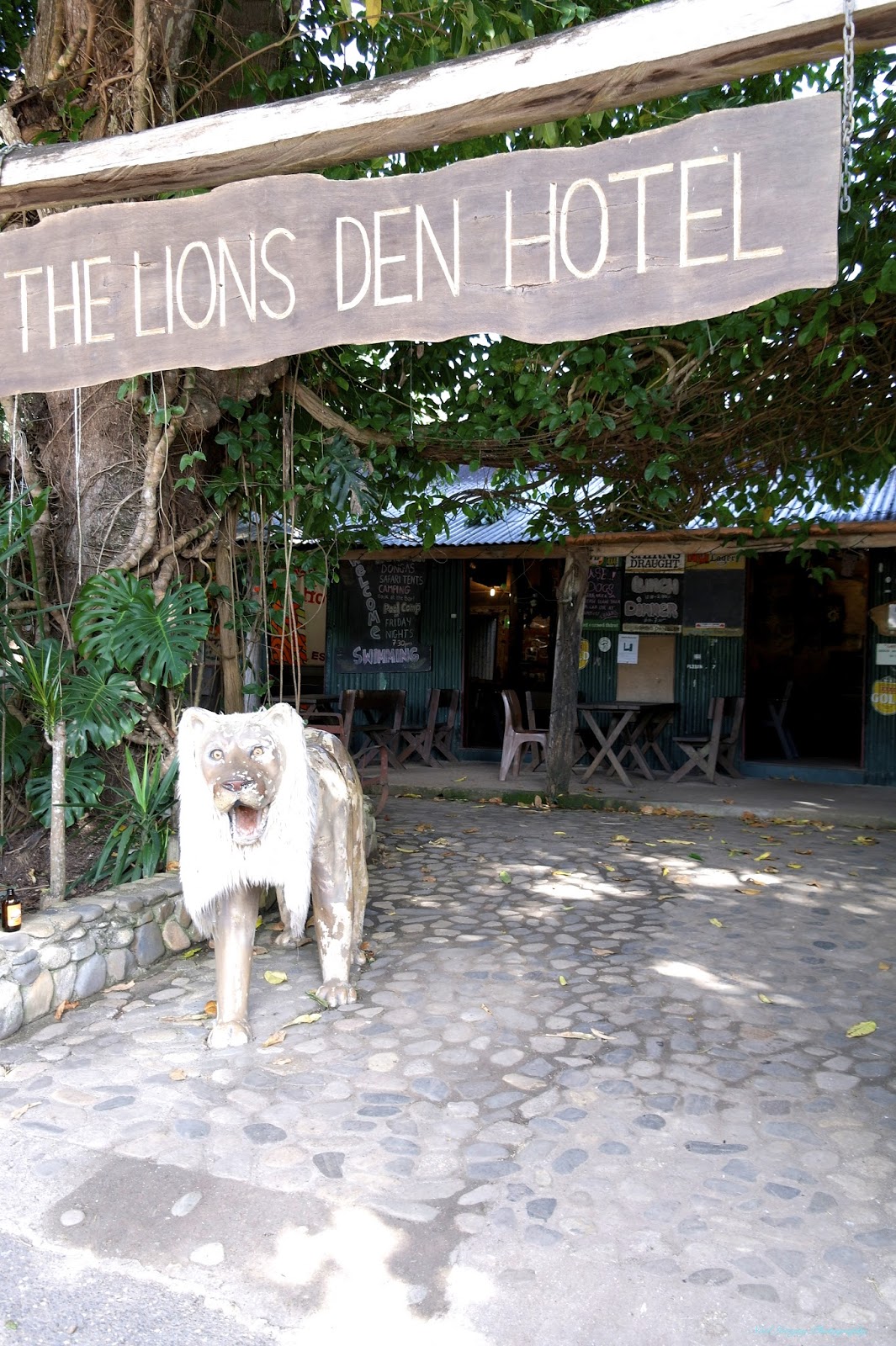
The Cooktown Hotel, commonly known as the "Top Pub", hasn't changed at all.

This grand old building was once The National Bank of Queensland.

Long ago this was the Cooktown Railway Station.

This imposing building was once a Convent but now houses "The Captain Cook Museum". A visit to this museum is an absolutely essential requirement. Most people seem to spend at least 2 hours in there.

As you would expect, Cooktown is very focussed on the fact that James Cook was nearly stranded in the Endeavour River. A monument to his visit with a canon from the Endeavour in the background.

Near to where the Endeavour was beached now stands a statue of James Cook. Having viewed "Cooks Cottage" in Melbourne and seen a pair of Cook's boots, the figure of this statue is grossly exaggerated in size.

The actual point where the Endeavour was beached. I don't think those concrete steps were there at the time.

The estuary of The Endeavour River, looking seaward. Once the Endeavour was repaired and reloaded, day after day James Cook would have stood here waiting for the prevailing SE winds to change to enable them to depart. Obviously the wind patterns are identical today as they were back in 1770. So much for Climate Change!

The high point from which James Cook plotted his exit through Barrier Reef Shoals to The Coral Sea.

From the high point looking upstream of The Endeavour River.

Cooktown, nestled beside The Endeavour River.

Many Years ago this fountain was the town water supply well.

The Coral Princess is a visitor to the Cooktown Port.

This Leopard Tank is permanently positioned here in Anzac Park.

Jude, looking out to The Coral Sea from Finch Bay.

At the entrance to The Botanical Gardens Jude found this Python.

Paperbarks grow very well up in these parts.

It is not extremely clear in the picture but there is a small tree attached to this rock with the roots running down to the soil far below.

Bright colours in The Botanical Gardens.

A general view through the woodlands section of the Gardens.

Isabella Falls. Not a lot of water in the 'Dry Season'.

The road to The Isabella Falls actually fords The Isabella Creek here and the falls are immediately below this point.

Beside the Isabella Creek Jude is standing on what is left of this rock overhang. This event was reasonably recent as the trees are still growing beneath the rockfall.